Wingfield Scale & Measure personnel come from the industries we serve; accounting, mine management, engineering, seasoned field surveyors and pilots. We offer a range of technology tools as real solutions to measure and map your mine, plant, workplace.
Map & Measure Products
Surface and Quarry
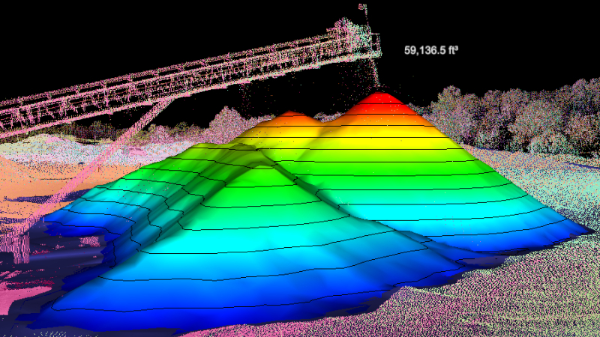
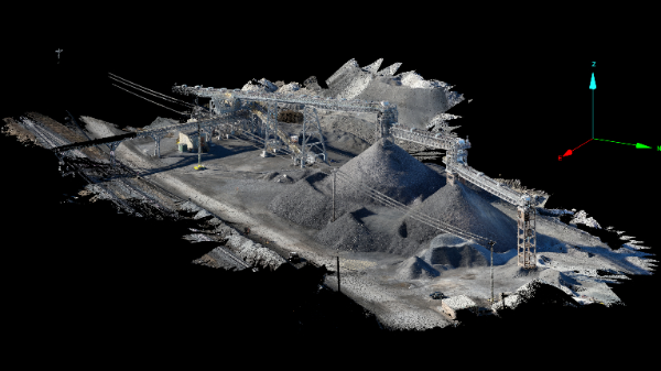
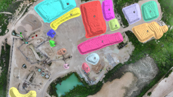
Stockpiles, bulk material inventory, and quarries are measured through the latest technology available. Emphasizing our clients needs of high accuracy data with fast turnaround is a core principle of our department.
Structural Scanning
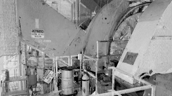
Statically or dynamically scan structures for various environments and projects. With high accuracy LiDAR capabilities, a 3D environment can be created of an existing structure which can be imported into most computer CAD based software.
UAV/Drone Services
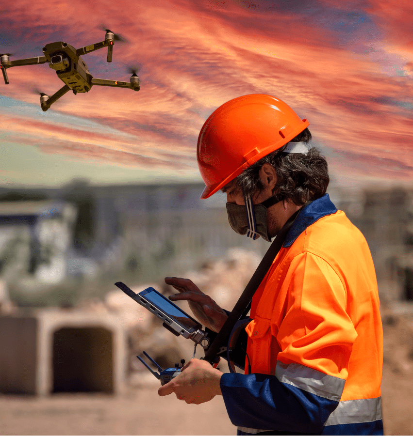
Wingfield has refined our techniques and services to assist you to fit your needs. By offering data capture services, post processing capabilities, or rental programs we can help find the best solution for your site or project.
Accurate Measurements For Stockpile Domes
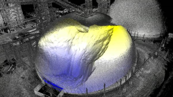
Silos and Domes can be difficult to confirm the amount of material that is actually stored inside. Using LiDAR systems the dome information can be captured and processed quickly to provide a safe insight into the current inventory available.
Underground Mapping
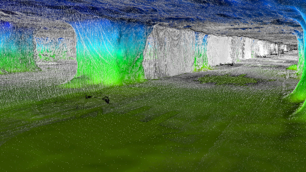
Specializing in underground mapping and shaft scanning for clients in the mining industry Wingfield continues to expand. The most recent additional service to be offered is autonomous UAV / Drone LiDAR Mapping for inaccessible areas.
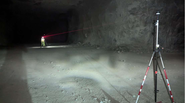
Underground Total Station Services
Wingfield offers underground total station services for setting control, updating alignment, and combining the total station control data with LiDAR scanning data.
Autonomous UAV Mapping
The Hovermap LiDAR System can autonomously capture LiDAR and video in areas that are inaccessible or unsafe. Primarily used in underground operations there are many surface operations where the the self-flight and collision avoidance system is required.
Stockpile Inventory
Inventory is the core of our company and continues to be updated and refined as technology advances. We complete stockpile inventories for various clients with different needs from UAV only, none flight zones, sheds, and underground inventory.
Interested in learning how Wingfield can help your business?
Schedule a conversation with a Wingfield specialist!
or call 423-698-0100
Wingfield was instrumental in helping us complete a complicated project with a very large scope for our company.
Wingfield Customer
Experience
Trusted by America’s leading manufacturers for over 87 years.
Room and Pillar Scanning
Using static and dynamic LiDAR systems we are able to map, measure, and track room and pillar progress. LiDAR and processing data allows for enhanced visualization of areas of interest and more precise volumetric.
