
UAV/Drone Services
Wingfield has refined our techniques and services to assist you to fit your needs. By offering data capture services, post processing capabilities, or rental programs we can help find the best solution for your site or project.
Related Case Studies
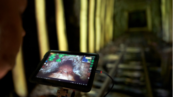
Autonomous UAV LiDAR Scanning
This UAV can be manually or autonomously flown to map areas that are inaccessible or lack the structural integrity for safe entry. It is commonly used for stopes and voids, failing and older or abandoned working areas, and for basic inspection.
UAV / Drone Specific Work (LiDAR & Photogrammetry)
Ensuring large projects such as stripping/overburden projects are captured accurately is extremely important. With access to LiDAR & photogrammetry platforms and post processing abilities for both Wingfield can custom tailor the data capture.
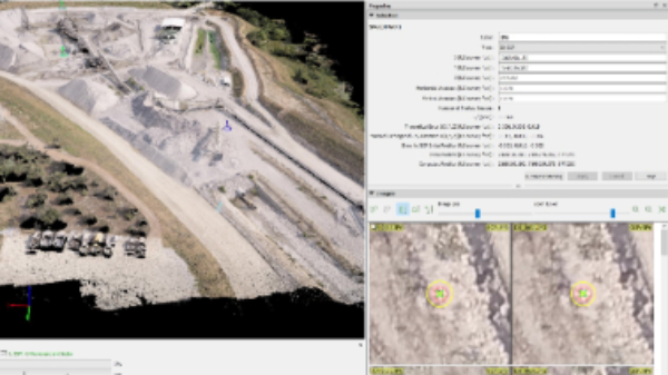
UAV/Drone Photogrammetry Post Processing & Upload Service
Using a UAV/Drone but don’t have the time to complete post processing? Upload your images and ground control points to Wingfield. We will recommend best practices, validate the uploaded data, and and and ensure post processing is completed accurately.
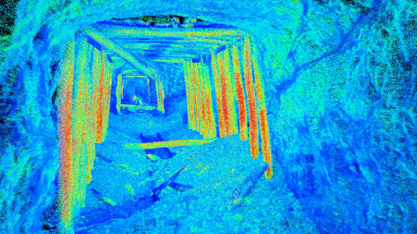
Point Cloud Data of Collapsed Inaccessible Tunnel
This point cloud data was captured using Autonomous UAV LiDAR to be used for rehabilitation project analysis in a partially collapsed rail tunnel.
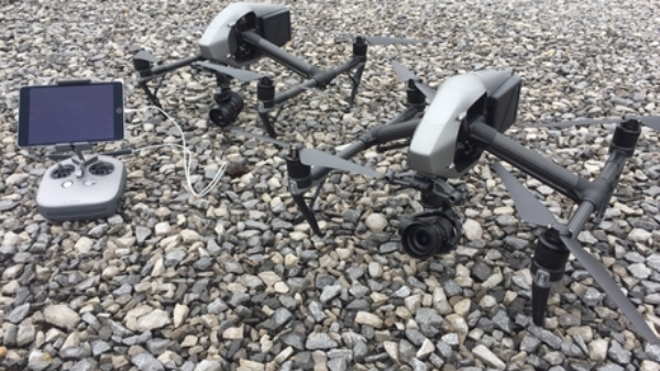
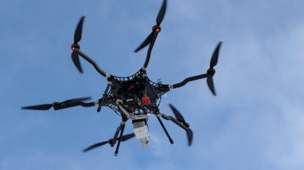
UAV / Drone Platforms
Various types of UAV / Drone systems that can be equipped with photogrammetry or LiDAR are available for a variety of projects. We understand the strengths and weaknesses of each platform and technology, so we can use the right tool for each job we do.
Interested in learning how Wingfield can help your business?
Schedule a conversation with a Wingfield specialist!
or call 423-698-0100
Wingfield helped us overcome some problems and obstacles we had and didn’t flinch. It’s refreshing to see someone take that on. They see the bigger picture.