Case Studies

Custom Railroad Solar Solution Being Prepped for Installation
Making final preparations on this fully autonomous solar system for a railroad scale before installation.

Fully Autonomous Railroad Scale Solar System Installation
Another railroad scale installation powered by a fully autonomous solar system designed, built and installed by our talented team.

How Wingfield Helped Streamline Sanofi’s Production with Custom Scale Software
Discover how Wingfield Scale developed a custom software solution for Sanofi, eliminating manual data entry and improving efficiency. With over 25 years of experience, we solve complex challenges with precision and reliability. Ready for a custom solution? Fill out the form today

Custom Weight Scale: Solutions for Your Unique Weighing Needs
Throughout our 85-year history we’ve customized every type of scale on the market. Give us the opportunity to provide a custom solution for you.

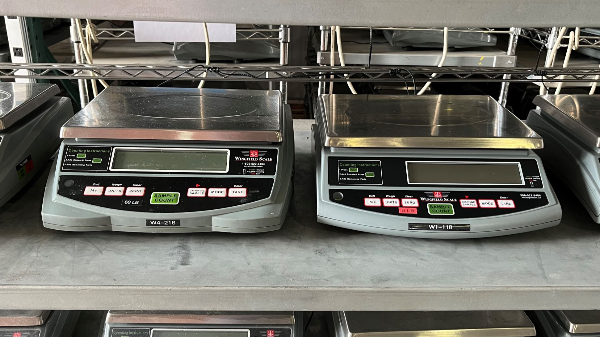
TWCS Touchscreen Counting Scale
We are very proud of our internally developed precision color touch screen counting scale for many reasons. It’s user-friendly with the largest color display in the industry with a self-prompting counting process and optional Bluetooth capability.

Fast Response Repair
We offer our customers on-call 24/7 service to give you fast repair and expert maintenance when you need it.
Bench Scales
Our bench scales offer you a convenient, portable solution ranging from 1-45kg or 2-100lb capacity. Whether you’re in a laboratory or a harsh industrial environment our bench scales can meet your weighing needs.
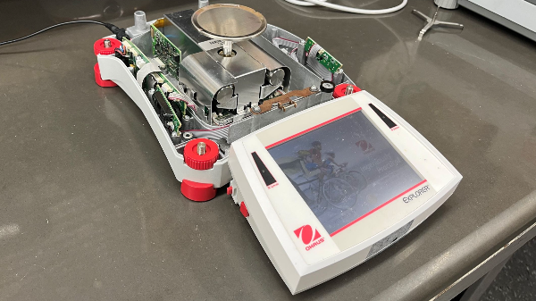
Ohaus Repair
As a regional service center, we offer expert repair and service on Ohaus measurement devices.
WingScan-T 3D-M
Used in permanent, semi-permanent, and mobile applications, the truck volume scanner provides real-time volumes and images of each truck load, including haul back.
Interested in learning how Wingfield can help your business?
Schedule a conversation with a wingfield specialist!
or call 423-698-0100