Geotechnical Data Capture
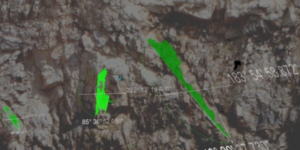
High resolution georeferenced data can be captured and processed ready to import into various geotechnical software packages.
High resolution georeferenced data can be captured and processed ready to import into various geotechnical software packages.