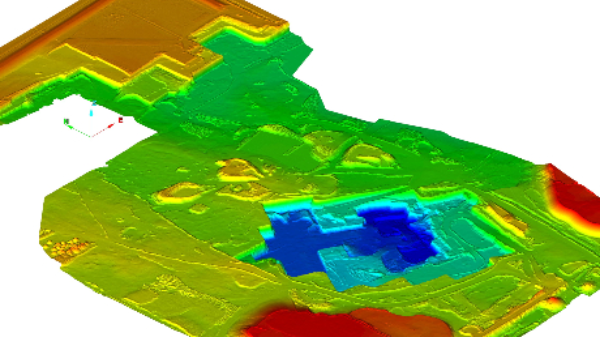
LiDAR and/or photogrammetry point clouds of open pit mines is used to generate a surface, contours, quarry updates, and as built vs. design comparisons.
Interested in learning how Wingfield can help your business?
Schedule a conversation with a Wingfield specialist!
or call 423-698-0100